From Above the Air...
Southern Pacific's Oakland Pier
Throughout the 20th Century
You may find the Key System's 1911 East Bay Map to be a handy reference guide to the area
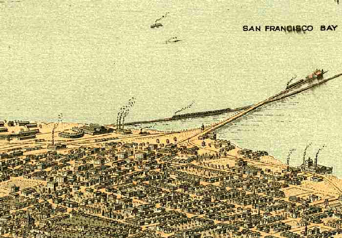
Around the turn of the 19th/20th centuries, cities large and small had "bird's-eye-view" maps made. Here, presumably from above the Oakland Hills, we look southwesterly toward the SP Pier. Note the roundhouse to its left...we'll see it again shortly.
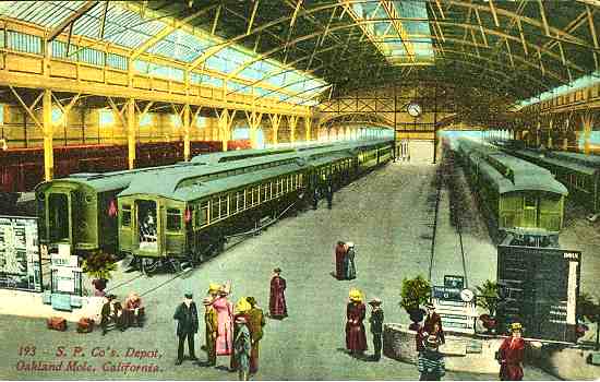
Postcard view inside the Oakland Mole
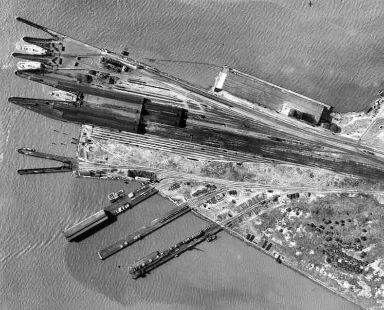
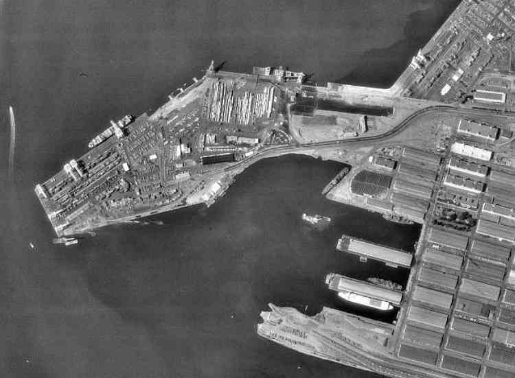
The "business end" of the pier, 1931. The Key System pier is just out of view at the top.
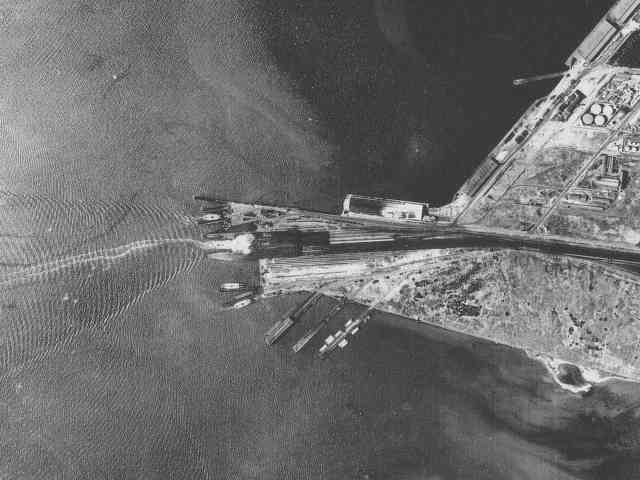
A similar view, 1939
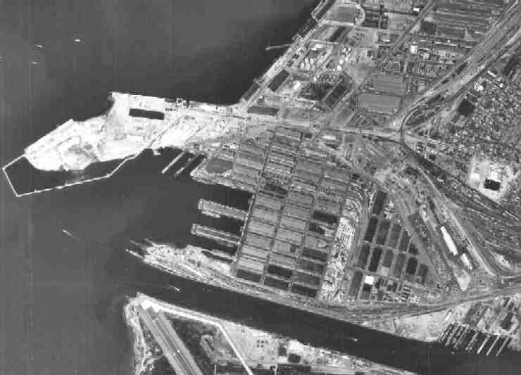
In 1968, the Pier was in the midst of "renewal"
Click on this picture to see the full-size version...it's a pretty large image, but too good for me to leave out !! (The Link is actually THERE, now!)
Looking from the west, about 1970
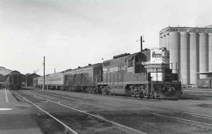
This
1956 photo shows SP5623 departing the Oakland Mole for
Sacramento, with the landmark Albers Mill tower dominating the
right background.
Al Phelps
photo, courtesy of Howard Wise, who now owns 5623, and Stan
Kistler
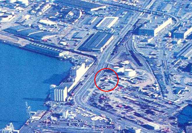
By 1995, our modes of transportation - and land use - had changed dramatically
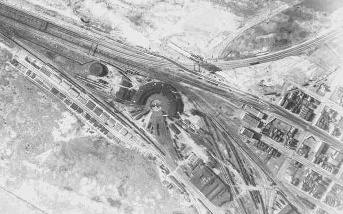
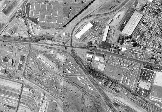
Just inland from the Oakland pier were the yards and other railroad facilities.
Including that roundhouse, as seen here in 1931. This is near present-day I-80 at 7th Street.
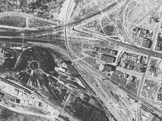
In 1939, as war approached, the area was yet to see much new development...
But before the next century arrived EVERYTHING had changed...
The SP tower has been shaken by earthquakes, and moved by man, but survives to this day...

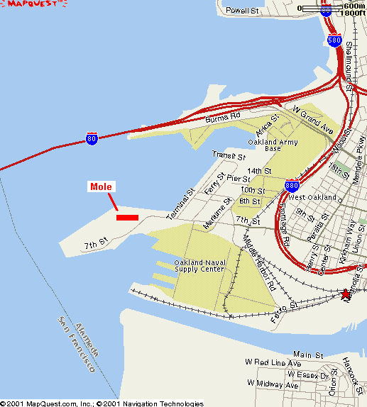
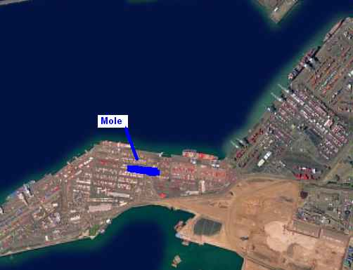
Now, do
the following map and aerial photo accurately depict the location
of the "mole" by today's street and landmark locations?
Any comments or corrections
appreciated. ![]()
|
|
|
Just a little bit south was the Western Pacific's Freight Yard
MORE CALIFORNIA RAILROAD SITES FROM SPACE
Comments, Complaints, Corrections & High Praise are always welcome