From Above the Air...
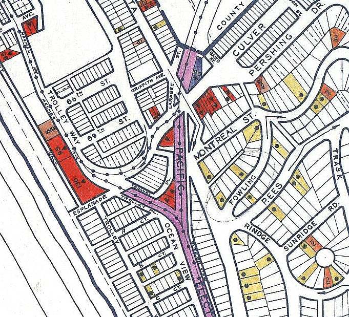
Playa del Rey "Junction"
Here are a couple views just too good to pass up. "The Redondo Beach - Del Rey Line" was built by Los Angeles Pacific in 1902-03, from Los Angeles to the ocean at the resort village of Playa del Rey, then south along the beach sands to Redondo. In 1905, a northern connection was completed across the swamplands of Ballona Creek, opening the "Lagoon Line" to Santa Monica.
The intervening century has changed the landscape drastically, especially the 1938 channeling of the creek by the Corps of Engineers, and the complete transformation of Ballona Slough area into the upscale "Marina del Rey" condo and commercial development in the 1960's. However, the abandoned trolley rights-of-way remain amazingly obvious despite the changes all around them.
A wide view of the area
Playa del Rey, up close (from just 22,000 miles)
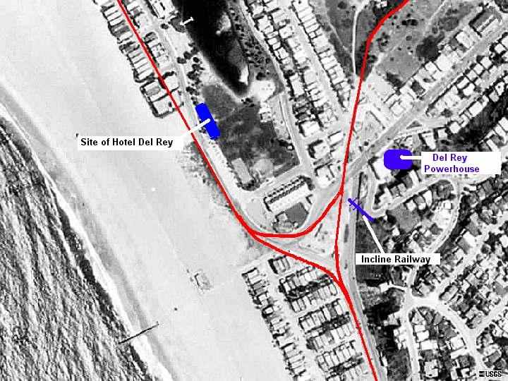
Beach Land Company, the primary developers at Playa del Rey, briefly ran a short incline railway to the top of the bluffs, giving an overview of the beach and the lagoon. The counter-balanced cars were named Alphonse and Gaston; no pictures of this short-lived attraction seem to have survived
The Hotel del Rey was built by the LAP in 1904, but sold off by PE shortly after acquiring the line in 1911. It became known as a house of prostitution in the teens, but was again sold and became the "Hope Development School" for mentally-retarded girls. In 1924 a disastrous fire destroyed the building, killing 22 girls and one matron.
Below: Postcard view of the Pavilion and Hotel del Rey in 1905. looking northwest. Note the tracks and overhead work in the foreground.