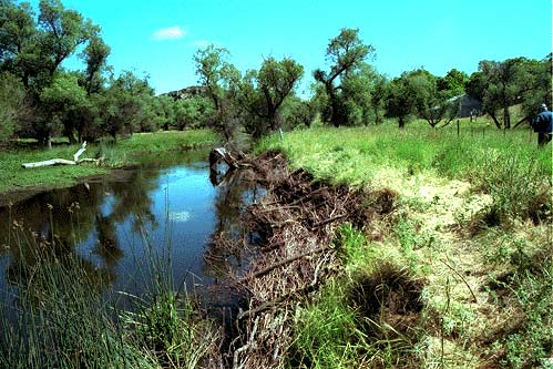
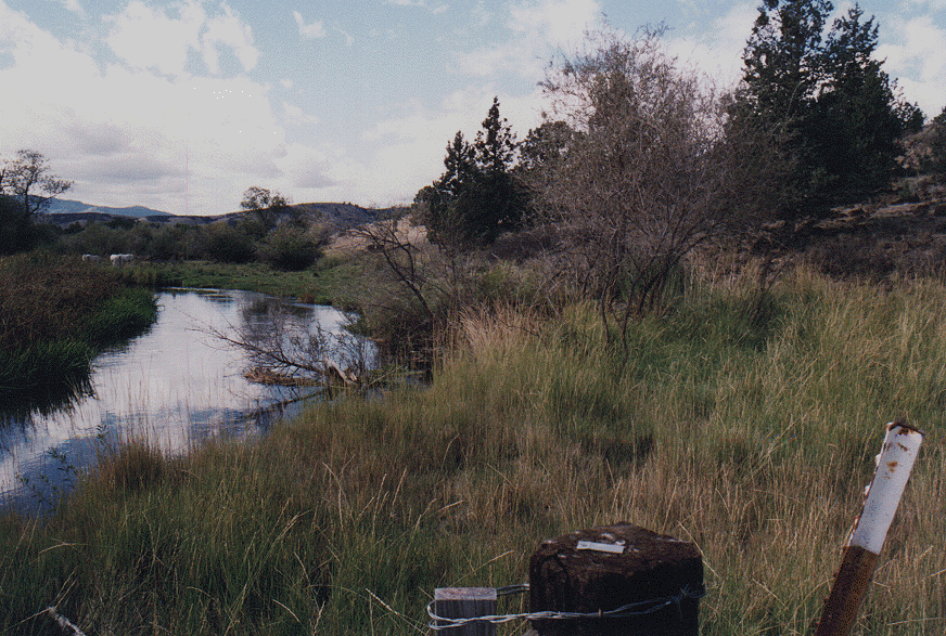
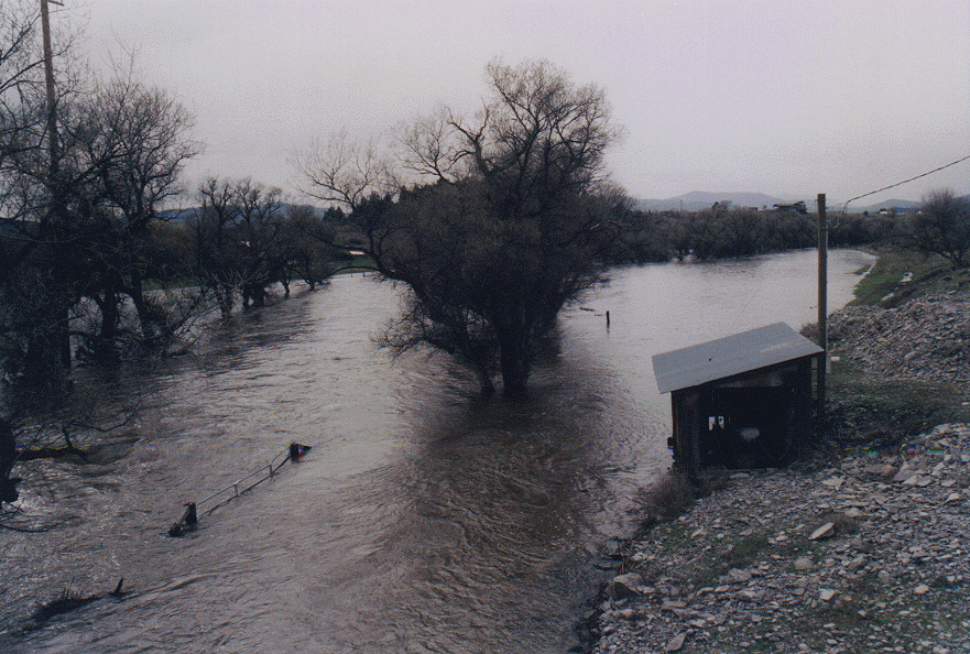
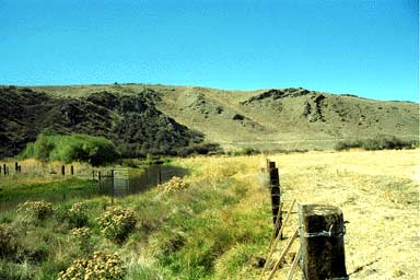
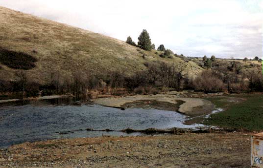
Easton Ranch Restoration
Willow mattresses are laid along the banks of the Shasta River on the Easton property to stabilize the bank. Note new fence to the right of photo that allows control of cattle access and recovery of vegetation.
Grasses and willow starts stabilize bank at Easton Ranch after a successful bank stabilization project.
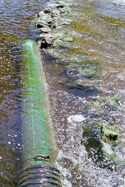
Easton willow mattress project after January 1997 high water. The project survived with no damage. Note the height of willow shoots in foreground which are dormant because the photo was taken in winter.
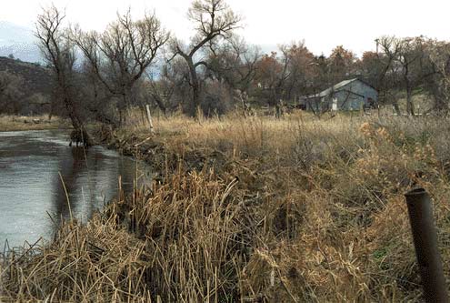
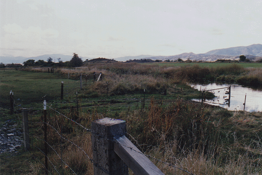
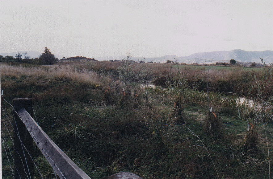
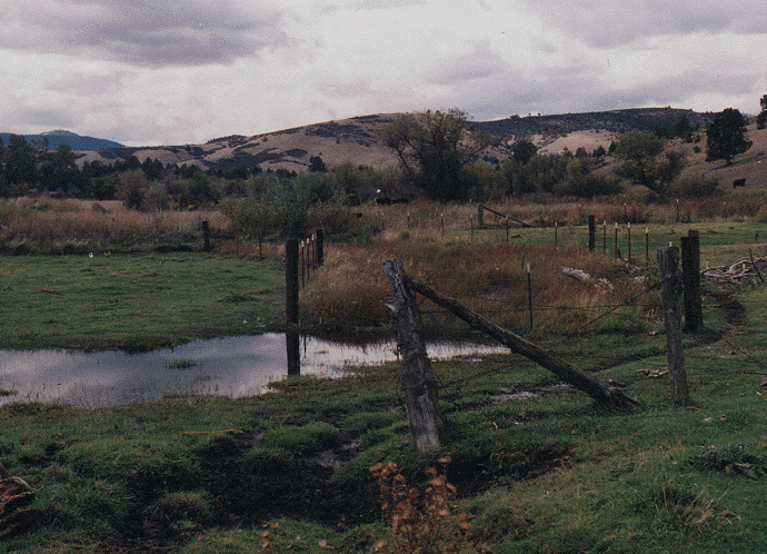
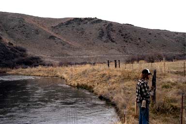
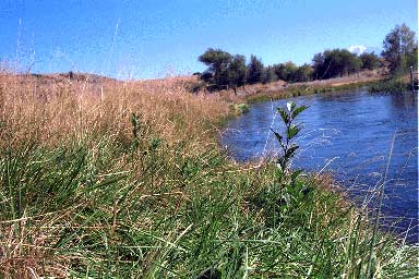
Ekstrom Ranch Restoration
Ekstrom Ranch is on the near side of the river at the right of the photo with other ownership at left. The exclusion fence on the Ekstrom property protects the riparian area. The far side of the river, while unfenced, is only lightly grazed because it is set aside as a bull pasture.
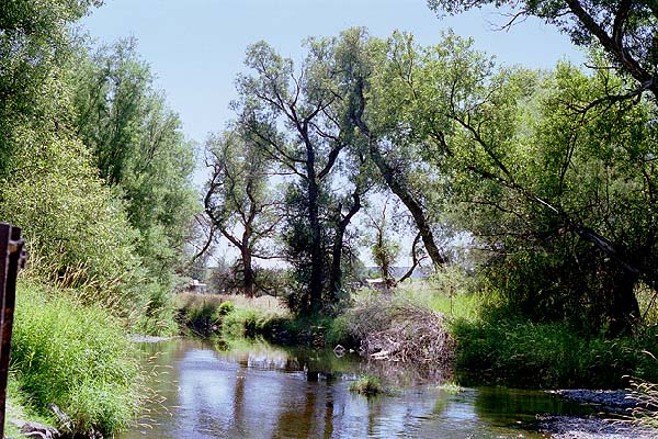
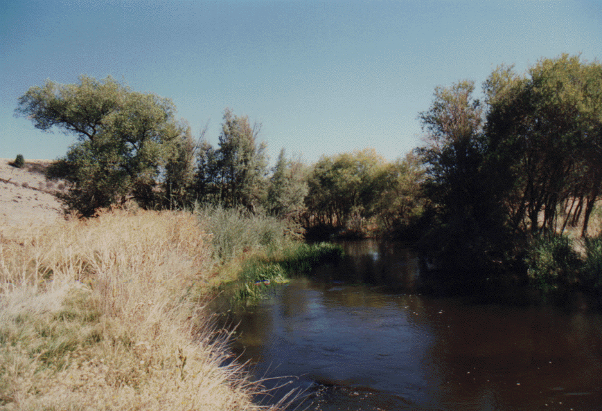
Looking downstream on the Ekstrom Ranch showing dense vegetation in the Shasta River riparian zone in areas where cattle exclusion has taken place. Note the difference in riparian vegetation downstream where cattle have not been fenced out.
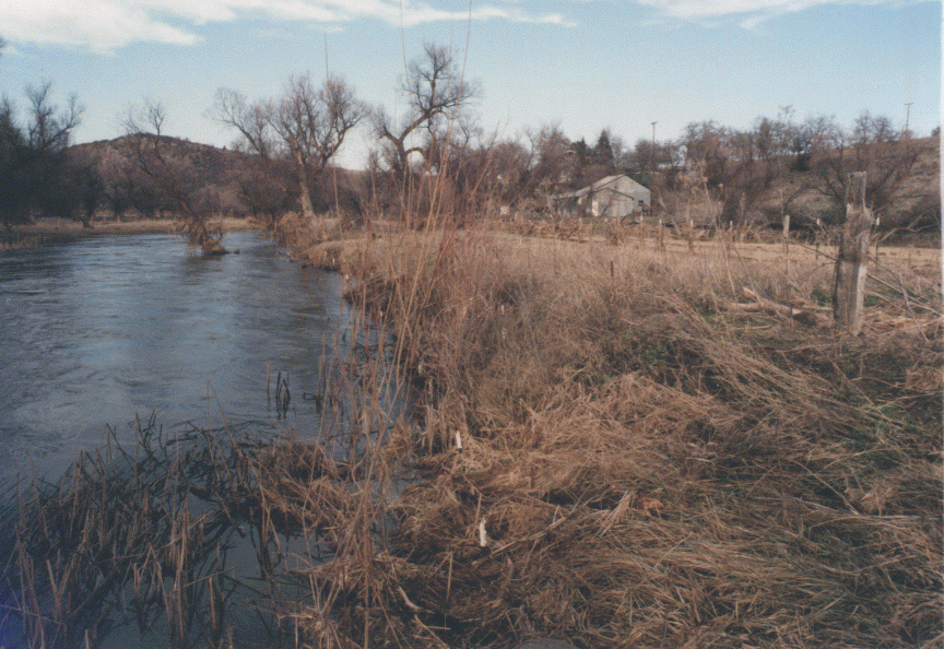
This photograph of the Shasta River at the Ekstrom property just after the January 1997 storm shows that the fence in the foreground survived the high flows intact. The wire cages that protect riparian tree plantings are also in the photo nearer to the stream and survived intact but also caught debris.
Beaver damage to an old willow tree in the Shasta River riparian zone on the Ekstrom Ranch. Beavers favorite food is willow bark and small willow trees, although they may subsist on herbaceous material if necessary.
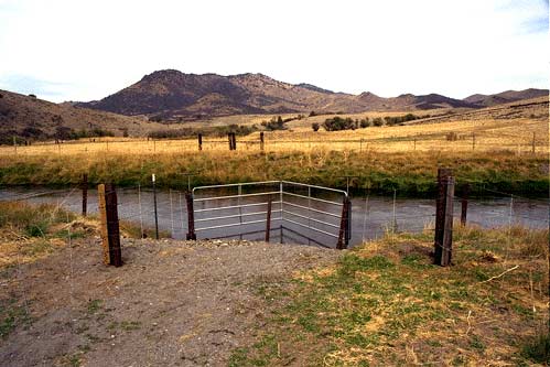
Stock water access under construction at Ekstrom Ranch on Shasta River. The rock deposited at the access helps prevent cattle from getting stuck in the mud. Concentrating access to one site helps banks recover while still providing needed water for livestock.
Ekstrom stock water access along the Shasta River near Grenada after high water in 1995. Note increase in shrubs versus photo taken in 1993 (imgsh245.tif).
Red willows growing in the exclusion zone on the Ekstrom Ranch inside an exclusion cage near the stock water access on the Ekstrom Ranch. Although two trees appear dead, the conditions are much improved from Pictures (imgsh245.tif) and (sh4670.gif). Photo taken after high water in spring of 1997.
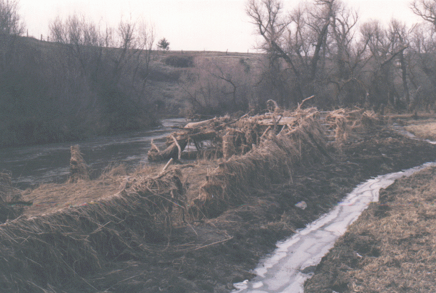
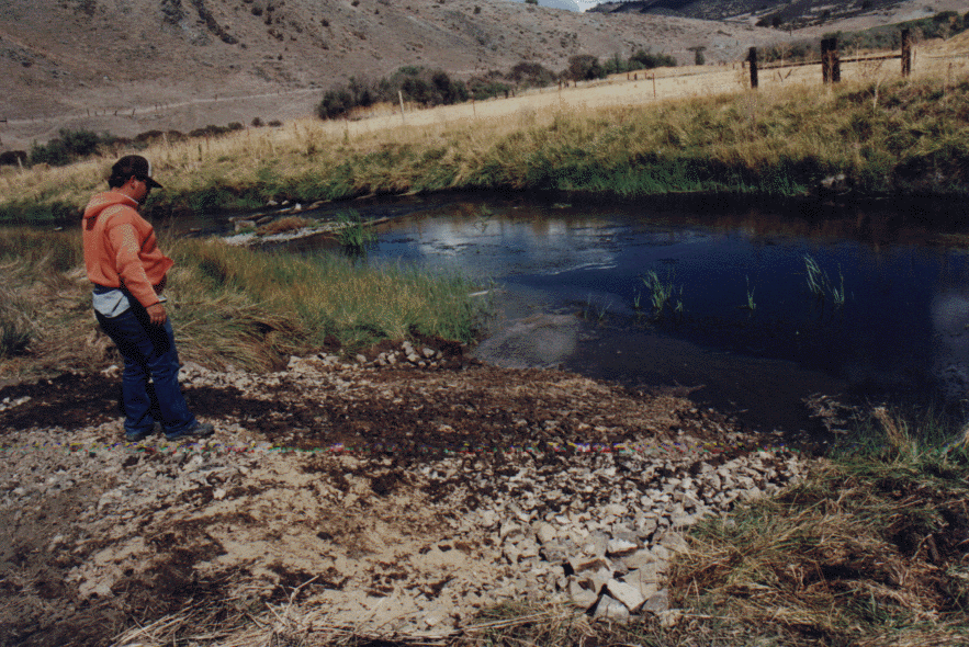
Old oxbow containing tailwater project on Ekstrom Ranch showing fenced wetland areas and unfenced grazed areas. The wetland vegetation that is growing within the fenced area will act as a filter for nutrient rich tailwater coming off pastures.
Downstream face of berm backing up irrigation tailwater into an old oxbow of the Shasta River on the Ekstrom Ranch. More well established wetland vegetation, including willows are now present. This allows the water to filter slowly into the river stripping it of nutrients and eliminating its stored heat. The 2x4 inch welded wire fence was added to the barbed wire fence to prevent access to beavers.
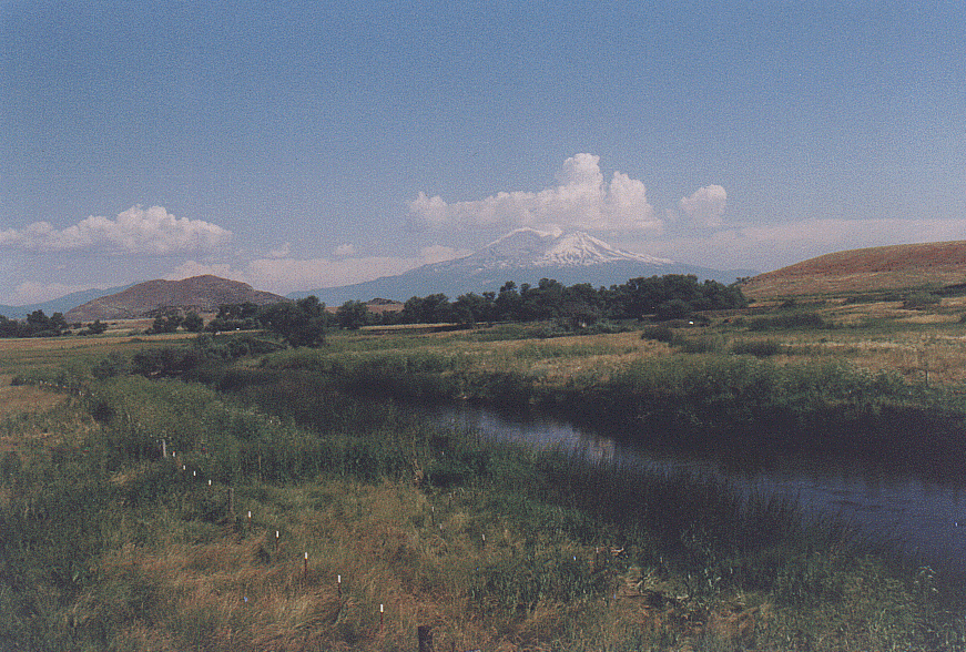
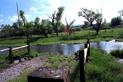
Fiock Ranch Restoration
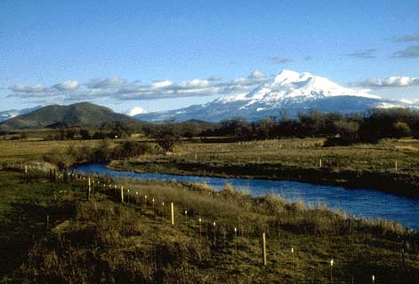
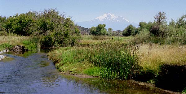
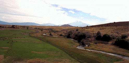
Shasta River with riparian fencing on Fiock Ranch with Mt. Shasta in the background..
Riparian zone on the Fiock Ranch along the Shasta River showing substantial improvement as a result of cattle exclusion. Photo taken in 1997.
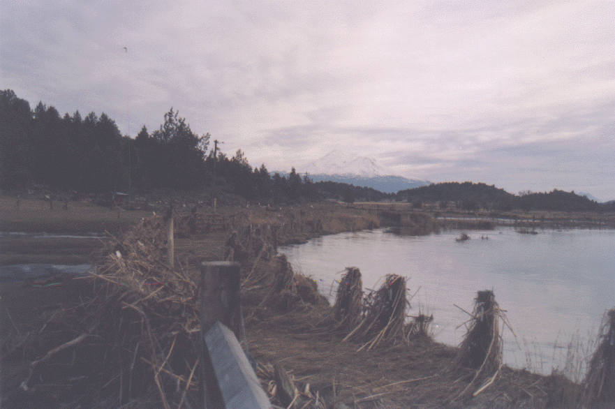
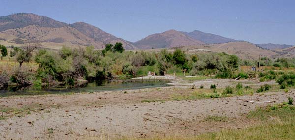
Looking downstream on the Shasta River just below Ager-Beswick Road on the Fiock Ranch at what used to be the Fiock Diversion Dam which has been replaced by a pump supplied by CDFG. The area formerly created a pond which trapped nutrients and created locally depressed dissolved oxygen.
Pump purchased by CDFG and later upgraded with the help of the Klamath Task Force (USFWS) that facilitated removal of the Fiock diversion dam.
Meamber Ranch Restoration
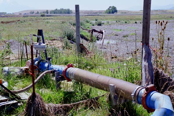
This photo shows pastures on the Meamber Ranch just upstream of the Montague/Grenada Road which receive tailwater from the Little Shasta irrigation system. When runoff is sufficient, tailwater is recovered here and pumped back onto the pasture reducing the amount of river water needed. This also prevents warm, nutrient rich waters from entering the Shasta River. The tailwater actually stimulates more growth of forage because it is nutrient rich.
Dave Webb, Shasta CRMP coordinator, and Jason Johnson of Kier Associates examine the tailwater recovery system on the Meamber Ranch, just below the Montague/Grenada Road.
This photo shows a Plumb Creek type fish screen on the diversion intake on the Shasta River at the Meamber Ranch. River water is supplemented with tailwater when it is available in sufficient quantities (see shasta16.jpg).
This photograph shows the Shasta River riparian zone on the Meamber property with a cattle exclusion fence.
Un-gated stock water access with rock apron under construction on Meamber Ranch along the Shasta River. Second access is to be built on opposite bank as well to allow moving cattle.
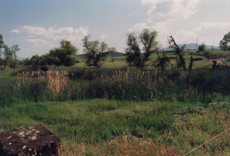
Dense tule and cattail growth along the Shasta River immediately upstream of the Montague Grenada Road on the Meamber property. Spring 1994.
High water in the Shasta River in spring 1998 looking downstream at the Montague Grenada Road bridge. Meamber property at right and Lemos at left.
This photograph shows a fence and cattle water access on the Meamber property just downstream of the Montague/Grenada Road just after the 1/1/97 storm. Note that both the fence and access survived the flood despite heavy debris loading.
Freeman Ranch Restoration
This photo of the Freeman Ranch on the Shasta River was taken in June 1997 just after completion of the fence which keeps cattle in pasture to the right and out of the riparian zone at left.
Riparian zone of the Shasta River on the Freeman Ranch protected from cattle grazing by riparian fencing. Stakes at the right in the photo are associated with cages over trees which protect them from beavers. Mt. Shasta is in the background.
Worker clears debris from cage protecting alder start from beaver damage on the Freeman Ranch along the Shasta River in spring 1997. The cages catch debris during high flows but trees are rarely by floods.
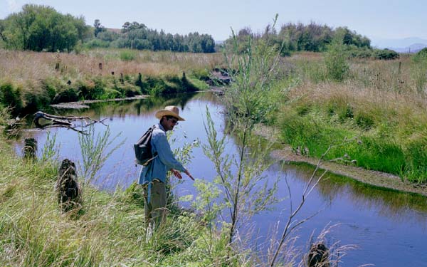
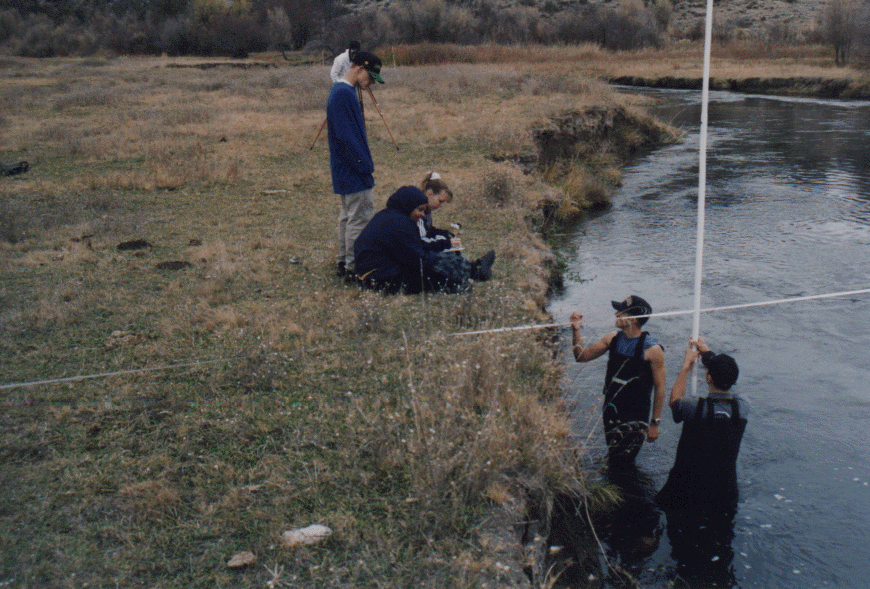
Weed High school students in wet suits use a tape and stadia rod to measure depths for cross section calculations at the Freeman property along the Shasta River. Students on the bank record measurements.
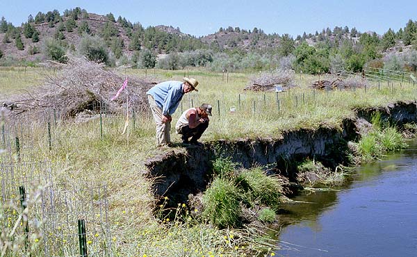
Dave Webb confers with Jim Fitzgeral on a bank stabilization project along the Shasta River on the Freeman Ranch. The willows piled in the background are secured to the bank and trap silt which rebuilds banks and prevents further erosion. This technique is effective on the Shasta because flood peaks are buffered by Dwinell Dam. See Easton Ranch photos which show effectiveness of this technique.
Parker Ranch Restoration
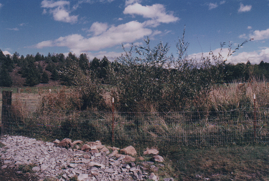
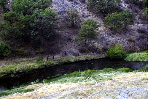
Riparian fencing along the Shasta River on the Parker Ranch Project. Interstate 5 runs through the center of this project.
Stock water access on the Parker Ranch Project along the Shasta River. Gates can be raised or lowered with water level or closed to avoid flood damage during winter. Gravel protects cows from being mired in the mud and also prevents erosion.
Tim Louie inspects work in progress on one of two cattle water access lanes on the Parker Ranch. 1994
Good riparian tree growth and other riparian plants on the Parker (right) and Peter's (left) Ranches along the Shasta River just upstream of I-5 about 3/4 mile. The trees provide much needed shade and the banks are stable which minimizes erosion.
Peters Ranch Restoration
Peters property fence project. This project is just upstream of Interstate 5 just north of Yreka.
Peters Ranch along the Shasta River with fencing to help protect banks, bank stabilization project in the distance at center of photo.
This photograph of the Peters ranch on the lower Shasta River shows a fence that needed repair in the center of the photo. This fence ran perpendicular to the river which makes it more susceptible to damage. The area in the photo is vary wet as this is where the Little Shasta Irrigation Ditch ends. This makes this location a potential site for tailwater reclamation.
Recontoured banks have revegetated decreasing the risk of erosion during high flows. Riparian fencing has also helped accelerate recovery of stabilizing grasses, trees and shrubs.
Looking upstream at the site of bank stabilization on the Peters Ranch along the Shasta River. This alder tree in foreground is one of many planted to help stabilize banks.
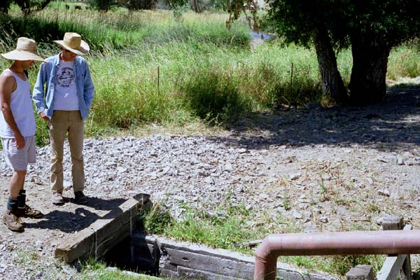
Shasta CRMP coordinator examines riparian restoration project success on upper Peters Ranch along the Shasta River. Note the willows that have been planted as part of riparian restoration effors on the site.
Community Involvement
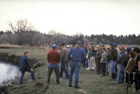
Bill Chesney at left of the California Department of Fish and Game instructs volunteers to the right of the fence on how to plant trees on the Marion Ranch on the Shasta River in 1992. Project sponsors from Trout Unlimited, Siskiyou Flyfishers and the Natural Resources Conservation Service are to the left of the fence with their backs toward the camera.
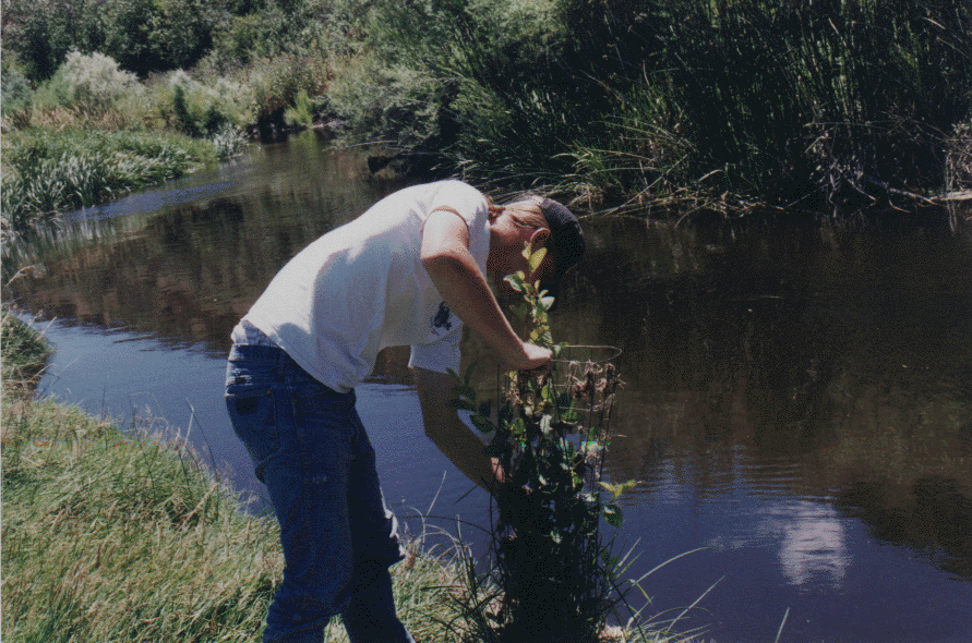
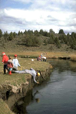
Jim Cook shows his sons how to plant willow starts in a verticval cutbank on the Marion Ranch in April 1992. The willows can help stabilize failing banks preserving valuable grazing land and preventing sediment from degrading the stream.
Weed High school students in wet suits use a tape and stadia rod to measure depths for cross section calculations at the Freeman property along the Shasta River. Students on the bank record measurements.